Fail:Ireland adm location map.svg

Fail asal (Fail SVG, ukuran dasar 1,449 × 1,806 piksel, saiz fail: 761 KB)
Penerang pandak
| Penerang |
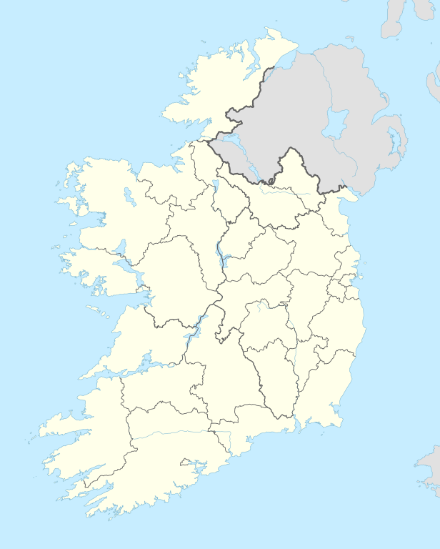
Deutsch: Positionskarte von Irland
English: Location map of Ireland
|
||||||||||||
| Hari bulan | |||||||||||||
| Bunsu |
Own work using:
|
||||||||||||
| Pengarang | NordNordWest | ||||||||||||

|
This map has been made or improved in the German Kartenwerkstatt (Map Lab). You can propose maps to improve as well.
|
Pelisin
Usage of this file with:

explanatory notes: Legally binding is only the full legalcode. For a free usage I recommend to respect the following licence conditions:
1. Provide my name as given above: NordNordWest,
2. a copy of, or the URI for, the applicable license: https://creativecommons.org/licenses/by-sa/3.0/de/legalcode,
3. the title of the work,
4. in the case of an adaptation, a credit identifying the use of the work in the adaptation.
This license and the rights granted hereunder will terminate automatically upon any breach by you of the terms of this license. Any of the above conditions can be waived if you get permission from the copyright holder. If you have questions or wish differing conditions, please contact me through nnwest or my discussion page ![]() t-online.de
t-online.de
- Nuan bibas:
- deka bekunsi – Kena nyalin, ngagih sereta ngerembaika asil penggawa tu
- deka ngulaika baru – Kena ngaduka pengawa
- Baruh syarat tu:
- pemuji – Nuan mesti meri kredit ti patut, meri link ngagai lisin, lalu nunjukka enti bisi ubah digaga. Nuan tau ngereja nya ngena sebarang chara ti patut, tang ukai ngena sebarang chara ti nunjukka orang ti meri lisin nya ngemendarka nuan tauka ngena nuan.
- kunsi sebaka – Enti nuan ngaga remix, ngubah, tauka ngaga atas utai nya, nuan mesti ngagihka pemeri nuan ba baruh sama tauka lisin serasi enggau ke asal.

Sejarah fail
Klik ba hari bulan/maya kena meda gamal fail nya maya nya.
| Hari bulan / Maya | Gambar mit | Dimensyen | Orang ngena | Komen | |
|---|---|---|---|---|---|
| baru | 01:37, 19 September 2014 | | 1,449 × 1,806 (761 KB) | NordNordWest | == {{int:filedesc}} == {{Information |Description= {{de|1=Positionskarte von Irland}} {{en|1=Location map of Ireland}} {{Location map series N |top=55.6 |bottom=51.2 |left=-11.0 |right=-5.0 }} |Source={{Own using}} * United States National Imagery and... |
Guna fail
3 buah laman berikut menggunakan fail ini:
Guna fail global
Fail tu dikena mega wiki-wiki tu:
- Guna ba af.wikipedia.org
- Guna ba als.wikipedia.org
- Guna ba ast.wikipedia.org
- Dublín
- Islla d'Irlanda
- Abadía de Boyle
- Newgrange
- Cork
- Ballybricken
- Módulu:Mapa de llocalización/datos/Irlanda
- Módulu:Mapa de llocalización/datos/Irlanda/usu
- Observatoriu Markree
- Monaghan
- Galway
- Universidá Nacional d'Irlanda, Galway
- Lifford
- Crumlin
- Aeropuertu de Cork
- Aeropuertu de Dublín
- Aeropuertu de Galway
- Puertu de Cork
- Puertu de Dublín
- An Ros
- Dún Briste
- Ballycastle (Mayo)
- Módulu:Mapa de llocalización/datos/República d'Irlanda
- Guna ba ban.wikipedia.org
- Guna ba bn.wikipedia.org
- Guna ba ca.wikipedia.org
Peda mayuh agi guna globall ari fail tu.